Point Level Matching
Point-level matching locates the center of the actual building footprint or parcel. This is the most accurate type of geocode and is used in industries such as internet mapping, insurance, telecommunications, and utilities.
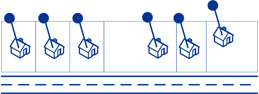
Centerline matching is used with point-level matching to tie a point-level geocode with its parent street segment. This provides you with additional data about the parent street segment that is not retrievable using only the point-level match. The output information also includes the bearing from the point data geocode to the centerline match.