Point-level matching
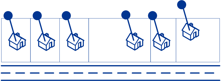
Point-level matching locates the center of the actual building footprint or parcel. This is the most accurate type of geocode.
If you are licensed for the point-level data option, you do not need to execute any additional initialization or setup for your system to begin using the point-level data. The Enterprise Tax Module automatically processes your address lists through the point-level data.
When processing address lists, the Enterprise Tax Module first searches for a match in the point-level data. If it cannot find an exact match in the point-level data, the Enterprise Tax Module continues searching for a better match in the street network data. The Enterprise Tax Module returns the best match found, with preference given to matches from the point-level dataset.