| Name | Type | Use | Default | Fixed | Annotation |
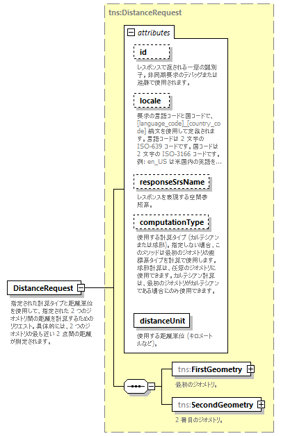
| id | xsd:string | optional | | | | documentation | | レスポンスで返される一意の識別子。非同期要求のデバッグまたは追跡で使用されます。 |
|
| locale | xsd:string | optional | | | | documentation | | 要求の言語コードと国コードで、[language_code]_[country_code] 構文を使用して定義されます。言語コードは 2 文字の ISO-639 コードです。国コードは 2 文字の ISO-3166 コードです。例: en_US は米国内の英語を意味します。 |
|
| responseSrsName | xsd:string | optional | | | | documentation | | レスポンスを表現する空間参照系。 |
|
| computationType | tns:ComputationType | optional | | | | documentation | | 使用する計算タイプ (カルテシアンまたは球形)。指定しない場合、このメソッドは最初のジオメトリの座標系タイプを計算で使用します。球形計算は、任意のジオメトリに使用できます。カルテシアン計算は、最初のジオメトリがカルテシアンである場合にのみ使用できます。 |
|
| distanceUnit | tns:DistanceUnit | required | | | | documentation | | 使用する距離単位 (キロメートルなど)。 |
|