| Name | Type | Use | Default | Fixed | Annotation |
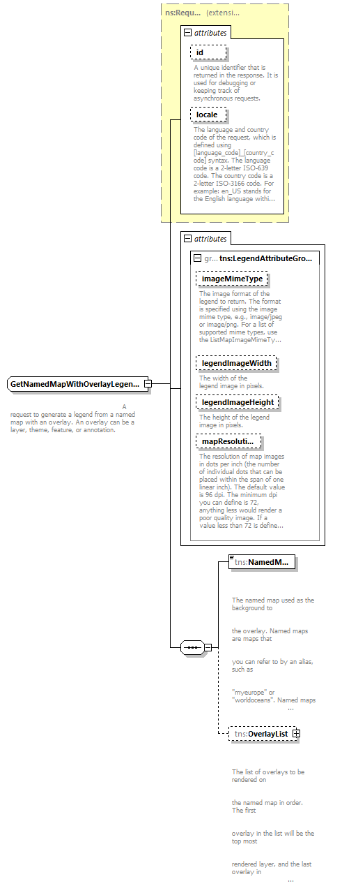
| id | xsd:string | optional | | | | documentation | | A unique identifier that is returned in the response. It is used for debugging or keeping track of asynchronous requests. |
|
| locale | xsd:string | optional | | | | documentation | | The language and country code of the request, which is defined using [language_code]_[country_code] syntax. The language code is a 2-letter ISO-639 code. The country code is a 2-letter ISO-3166 code. For example: en_US stands for the English language within the United States of America. |
|
| imageMimeType | xsd:string | optional | image/png | | | documentation | | The image format of the legend to return. The format is specified using the image mime type, e.g., image/jpeg or image/png. For a list of supported mime types, use the ListMapImageMimeTypes method. |
|
| legendImageWidth | xsd:int | optional | 16 | | | documentation | | The width of the legend image in pixels. |
|
| legendImageHeight | xsd:int | optional | 16 | | | documentation | | The height of the legend image in pixels. |
|
| mapResolution | xsd:int | optional | | | | documentation | | The resolution of map images in dots per inch (the number of individual dots that can be placed within the span of one linear inch). The default value is 96 dpi. The minimum dpi you can define is 72, anything less would render a poor quality image. If a value less than 72 is defined the service will throw an exception. |
|