| Name | Type | Use | Default | Fixed | Annotation |
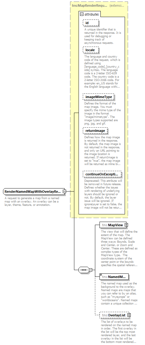
| id | xsd:string | optional | | | | documentation | | A unique identifier that is returned in the response. It is used for debugging or keeping track of asynchronous requests. |
|
| locale | xsd:string | optional | | | | documentation | | The language and country code of the request, which is defined using [language_code]_[country_code] syntax. The language code is a 2-letter ISO-639 code. The country code is a 2-letter ISO-3166 code. For example: en_US stands for the English language within the United States of America. |
|
| imageMimeType | xsd:string | optional | image/png | | | documentation | | Defines the format of the map image. You must specify the mime type of the image in the format "image/mimetype". The image types supported are png, jpg, and gif. |
|
| returnImage | xsd:boolean | optional | false | | | documentation | | Defines how the map image is returned in the response. By default, the map image is not returned in the response, and only an URL pointing to the image location is returned. If returnImage is set to "true", the map image will be returned as inline binary data in the response. |
|
| continueOnException | xsd:boolean | optional | true | | | documentation | | Deprecated: This attribute will be removed in future release. Defines whether the issues with rendering of underlying layers should be ignored or not. By default, the layer issue will be ignored. If ignoreLayer is set to false, the map image will not be returned and exception will be returned. |
|