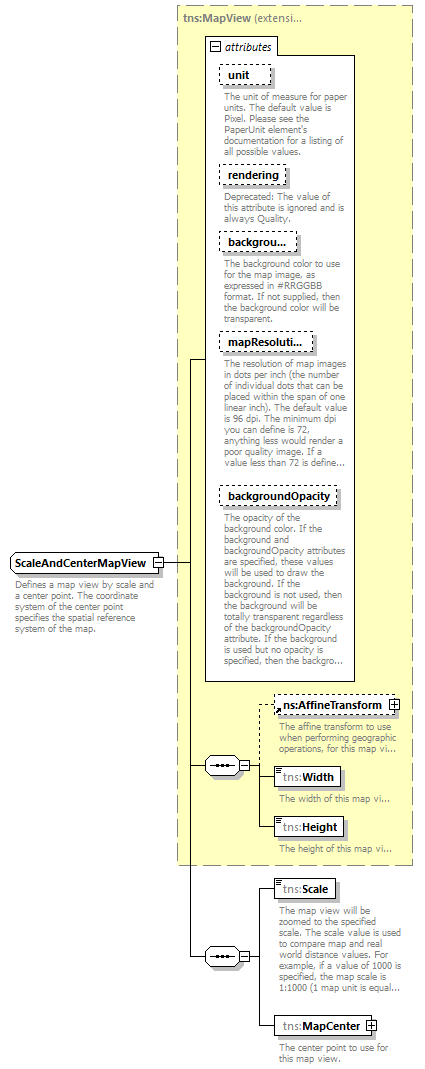
| Name | Type | Use | Default | Fixed | Annotation |
| unit | tns:PaperUnit | optional | Pixel | | | documentation | | The unit of measure for paper units. The default value is Pixel. Please see the PaperUnit element's documentation for a listing of all possible values. |
|
| rendering | tns:Rendering | optional | Speed | | | appinfo | | deprecated | | documentation | | Deprecated: The value of this attribute is ignored and is always Quality. |
|
| background | xsd:string | optional | | | | documentation | | The background color to use for the map image, as expressed in #RRGGBB format. If not supplied, then the background color will be transparent. |
|
| mapResolution | xsd:int | optional | | | | documentation | | The resolution of map images in dots per inch (the number of individual dots that can be placed within the span of one linear inch). The default value is 96 dpi. The minimum dpi you can define is 72, anything less would render a poor quality image. If a value less than 72 is defined the service will throw an exception. |
|
| backgroundOpacity | xsd:double | optional | | | | documentation | | The opacity of the background color. If the background and backgroundOpacity attributes are specified, these values will be used to draw the background. If the background is not used, then the background will be totally transparent regardless of the backgroundOpacity attribute. If the background is used but no opacity is specified, then the background will be totally opaque. |
|