| diagram |
|
||||||||||||||||||||||
| namespace | http://www.mapinfo.com/midev/service/mapping/v1 | ||||||||||||||||||||||
| type | extension of tns:Layer | ||||||||||||||||||||||
| properties |
|
||||||||||||||||||||||
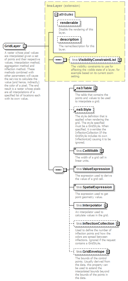
| children | tns:VisibilityConstraintList tns:Table tns:Style tns:CellWidth tns:ValueExpression tns:SpatialExpression tns:Interpolator tns:InflectionCollection tns:GridEnvelope | ||||||||||||||||||||||
| attributes |
|
||||||||||||||||||||||
| description |
|
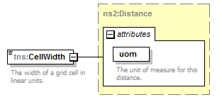
element GridLayer/CellWidth
| diagram |
|
||||||||||||||
| namespace | http://www.mapinfo.com/midev/service/mapping/v1 | ||||||||||||||
| type | tns:Distance | ||||||||||||||
| properties |
|
||||||||||||||
| attributes |
|
||||||||||||||
| description |
|
element GridLayer/ValueExpression
| diagram |

|
||
| namespace | http://www.mapinfo.com/midev/service/mapping/v1 | ||
| type | xsd:string | ||
| properties |
|
||
| description |
|
element GridLayer/SpatialExpression
| diagram |

|
||
| namespace | http://www.mapinfo.com/midev/service/mapping/v1 | ||
| type | xsd:string | ||
| properties |
|
||
| description |
|
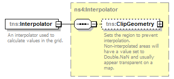
element GridLayer/Interpolator
| diagram |
|
||
| namespace | http://www.mapinfo.com/midev/service/mapping/v1 | ||
| type | tns:Interpolator | ||
| properties |
|
||
| children | tns:ClipGeometry | ||
| description |
|
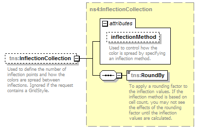
element GridLayer/InflectionCollection
| diagram |
|
||||||||||||||
| namespace | http://www.mapinfo.com/midev/service/mapping/v1 | ||||||||||||||
| type | tns:InflectionCollection | ||||||||||||||
| properties |
|
||||||||||||||
| children | tns:RoundBy | ||||||||||||||
| attributes |
|
||||||||||||||
| description |
|
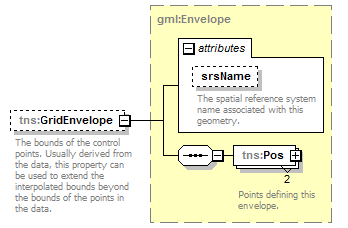
element GridLayer/GridEnvelope
| diagram |
|
||||||||||||||
| namespace | http://www.mapinfo.com/midev/service/mapping/v1 | ||||||||||||||
| type | tns:Envelope | ||||||||||||||
| properties |
|
||||||||||||||
| children | tns:Pos | ||||||||||||||
| attributes |
|
||||||||||||||
| description |
|