Buffering
Use buffering to define areas that are close to the edges of a polygon, line, or point.
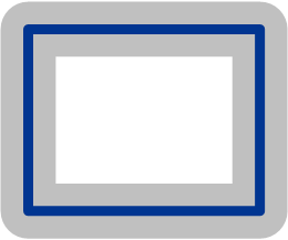
|

|
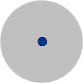
|
|
Buffered Polygon (zone) |
Buffered Line (corridor) |
Buffered Point (circle) |
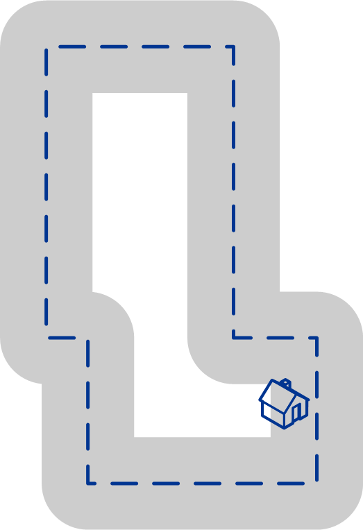
For example, if you work for an insurance company you may want to know if a potential customer's house is within 500 feet of a flood plain so that you can suggest that they buy flood insurance even though they are not actually within the flood plain. The following illustration shows this scenario using a buffered polygon. The dotted line indicates the boundary of the flood plain and the shaded area shows a 500-foot buffer zone around the boundary.
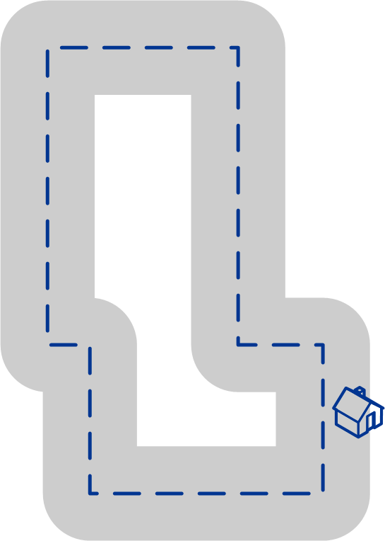
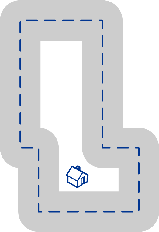
The buffer area extends on both sides of the boundary (inside and outside). When you use buffering, the output field BufferRelation indicates whether or not the point is in the buffered zone, and whether the point is inside or outside of the polygon, as shown in the following illustrations.
|
|

|
|
The point is inside the polygon and not in the buffer area. The output field BufferRelation will contain "P". |
The point is inside the polygon and in the buffer area. The output field BufferRelation will contain "I". |
The point is outside the polygon but in the buffer area. The output field BufferRelation will contain "B". |
Specify the size of polygon buffers using the BufferWidth input field to set it on a record-by-record basis and the option to set a default polygon buffer width for the job.
