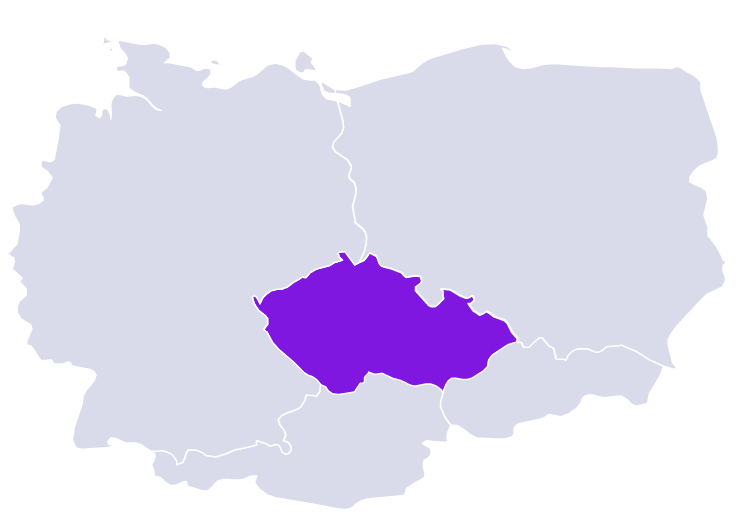
Czech Republic

| Continent | Europe |
| Region | Land-locked country in Central Europe |
| Area | 78,871 km2 (30,452 sq mi) |
| Coastline | Not applicable |
| Capital City | Prague |
| Population | 10,516,707 (2022 estimate) |
| Currency | Czech koruna (CZK) |
| Time zone | UTC+1 (CET) and UTC+2 (CEST) in Summer (DST) |
| ISO 3166-1 codes | CZ; CZE; 203 |
| Address Format* | The addresses of certain major cities, such as Prague or Brno, contain a one to three figures code after the locality name (e.g., PRAHA 11) which identifies (together with the locality name) the delivery post office. Either name of delivery post office or name of locality may be given in the address beside the postcode. If delivery post office name is used and it is different from the locality name, then the locality name will appear on the line above the postcode. The street number often consists of two numbers separated by a slash. The first number is a unique district-related building number which doesn’t depend on the street where the building is located, the second number is the street number. |
| Postcode* | 5 digits to the left of locality name; 1 space between 3rd and 4th digits; 2 spaces between code and locality name |
|
Available Bundle(s) |
Geocoding Precision Availability |
Address Verification Availability |
Address Autocomplete Availability |
Maximum Matching Capability |
Postcodes | Language(s) |
Master Location Data Available |
|---|---|---|---|---|---|---|---|
|
World Streets (Option 1) World Address Point (Option 2) EMEA Bundle Á la carte datasets |
Street Interpolated Address Points |
Premise |
Street level Address Point level |
Full address | Yes |
Czech |
Planned TBD |
