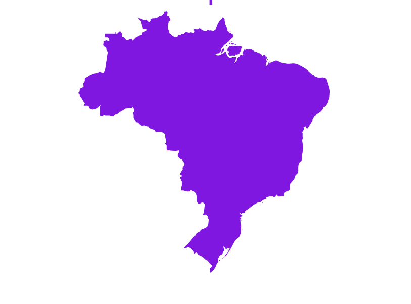
Federative Republic of Brazil

| Continent | South America |
| Region | Occupies a large area along the eastern coast of South America |
| Area | 8,514,877 km2 (3,287,612 sq mi) |
| Coastline | 7,491 km (4,655 mi) |
| Capital City | Brasilia |
| Population | 216,447,375 (2022 estimate) |
| Currency | Real (R$) (BRL) |
| Time zone | UTC-2 to -5 (BRT) |
| ISO 3166-1 codes | BR; BRA; 076 |
| Address Format* | The state abbreviation (two characters) must follow the town’s name separated by a dash. It should never be put before the postcode. The postcode digits should never be separated by dots. The capital city of Brasilia is divided into sectors. The sectors appear as abbreviations in the address (three to four capital letters). A sector is divided into quadras, which are themselves divided into blocks. |
| Postcode* | 8 digits under the name of the locality, with a dash between the 5th and 6th digits |
|
Available Bundle(s) |
Geocoding Precision Availability |
Address Verification Availability |
Address Autocomplete Availability |
Maximum Matching Capability |
Postcodes | Language(s) |
Master Location Data Available |
|---|---|---|---|---|---|---|---|
|
World Streets (Option 1) World Address Point (Option 2) AMER Bundle Á la carte datasets |
Street Interpolated Address Points |
Premise |
Street level Address Point level |
Full address | Yes |
Portuguese |
Planned TBD; will include Fernando de Noronha, Saint Peter and Paul Rocks, Trindade and Martim Vaz |
