
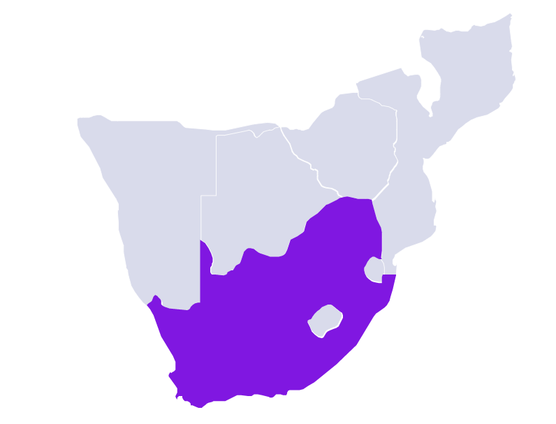
Republic of South Africa
| Continent | Africa |
| Region | Southern tip of Africa |
| Area | 1,220,813 km2 (471,359 sq mi) |
| Coastline | 2,798 km (1,739 mi) |
| Capital City | Pretoria |
| Population | 60,142,978 (2021 estimate) |
| Currency | South African rand (ZAR) |
| Time zone | UTC+2 (SAST) |
| ISO 3166-1 codes | ZA; ZAF; 710 |
| Address Format* | XY The last line (above the country name) always contains the postcode. The second last line contains locality or office name. The third last line contains the postal delivery point. The last three lines (above the country name) are formatted according to three standard address types. • Type 1: Physical addresses: The postcode identifies the delivery locality. The name of this locality is in the line above the postcode. Above this line is the delivery point number + street name or section. Physical addresses in areas without street names are informal area addresses. • Type 2: Rural addresses: The postcode identifies the delivery Post Office. The name of this Post Office is in the line above the postcode. Above this line is the delivery point number + village name. A five- or six digit number identifies the delivery point in the village. • Type 3: Postal delivery service addresses: The postcode identifies the Post Office. The name of this Post Office is on the line above the postcode. Above this line is the delivery point (PO Box or Private Bag) number. The second last line (locality or post office) should be in upper case. The locality / post office and correct postcode fully identify the postal delivery area or office. |
| Postcode* | 4 digits below the name of the locality or post office |
|
Available Bundle(s) |
Geocoding Precision Availability |
Address Verification Availability |
Address Autocomplete Availability |
Maximum Matching Capability |
Postcodes | Language(s) |
Master Location Data Available |
|---|---|---|---|---|---|---|---|
|
World Streets (Option 1) World Address Point (Option 2) EMEA Bundle Á la carte datasets |
Street Interpolated Address Points |
Premise |
Street level |
Full address | Yes |
English |
Planned TBD |