
Republic of Ireland
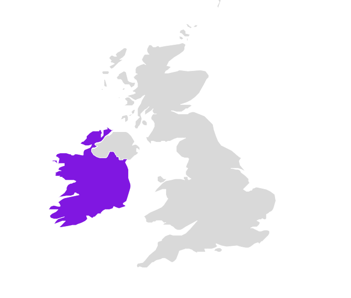
| Continent | Europe |
| Region | Northwestern Europe |
| Area | 70,273 km2 (27,133 sq mi) |
| Coastline | 7,524 km (4,675 mi) |
| Capital City | Dublin |
| Population | 5,123,536 (2022 estimate) |
| Currency | Euro (€) (EUR) |
| Time zone | UTC (GMT) and UTC+1 (IST) in Summer (DST) |
| ISO 3166-1 codes | IE; IRL; 372 |
| Address Format* |
Line 1 – name of addressee Line 2 – name of organization Line 3(a) – house number and thoroughfare name Line 3(b) – house name and street name on a separate line if thoroughfare is named Line 4 – name of locality Line 5 – name of locality (post town), expressed with a postal district number for Dublin postal districts where applicable Line 6 – name of county (unless identical to name of town) Line 7 – postcode (Eircode) Line 8 – name of country |
| Postcode* | 7 alphanumeric characters below the name of the locality with a space after the first 3 alphanumeric characters. |
|
Available Bundle(s) |
Geocoding Precision Availability |
Address Verification Availability |
Address Autocomplete Availability |
Maximum Matching Capability |
Postcodes | Language(s) |
Master Location Data Available |
|---|---|---|---|---|---|---|---|
|
World Streets (Option 1) World Address Point (Option 2) MLD Bundle (Option 3) EMEA Bundle Á la carte datasets |
Street Interpolated Address Points |
Premise |
Street level Address Point level |
Full address | Yes | English | Yes |